

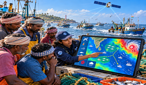
Marine experts have called for greater use of satellite technology and data-driven decision-support systems to protect fisheries from the growing effects of climate change.
At the 47th Asian Conference on Remote Sensing (ACRS 2026), scientists and fisheries officials discussed how satellite observations and geospatial technologies could strengthen sustainable fisheries management and help fishing communities adapt to changing ocean conditions.
The panel discussion was organised by the ICAR-Central Marine Fisheries Research Institute (CMFRI) and brought together representatives from the Indian Council of Agricultural Research (ICAR), the Indian National Centre for Ocean Information Services (INCOIS), the Ministry of Earth Sciences and the Department of Fisheries.
Climate change puts fisheries under pressure
Experts highlighted the impact of ocean warming, marine heatwaves and shifts in the distribution of marine species on fish availability and fishing operations. These changes can disrupt fishing patterns, increase operational uncertainty and threaten the livelihoods of communities dependent on marine resources.
Shubhadeep Ghosh, Assistant Director General of ICAR, stressed the importance of science-based monitoring and adaptive fisheries management in addressing these challenges.
Satellites to improve fisheries advisories
The discussions focused on integrating satellite-derived information, including sea surface temperature and ocean colour, with oceanographic data, field observations and fisheries assessments.
Such systems could improve the accuracy and timeliness of fisheries advisories by providing information on potential fishing zones, changing ocean conditions and weather-related risks. Access to timely updates could help fishers plan trips more effectively, reduce uncertainty and make better-informed decisions.
Experts also discussed strengthening early-warning mechanisms to help fishing communities respond to changing marine conditions and emerging risks.
Collaboration for sustainable fisheries
The panel included Devika Pillai, Assistant Director General at ICAR; K. Mohammed Koya, Union Fisheries Development Commissioner; Aneesh Lotliker, scientist at INCOIS; and Divu D and Vinay Kumar Vase of ICAR-CMFRI.
The discussions underscored the need for closer collaboration between research institutions, government agencies and fisheries authorities to translate satellite data into practical tools for fishing communities.
As climate change reshapes marine ecosystems, integrating remote sensing with fisheries science could become an important component of climate-resilient fisheries management, supporting resource conservation while helping safeguard the livelihoods of coastal communities.